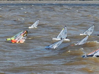
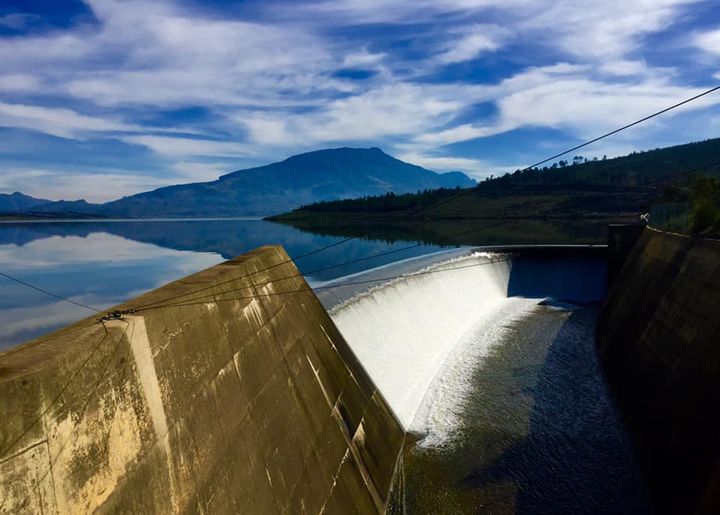
Theewaterskloof Dam is the largest dam in the Western Cape Water Supply System and the biggest source of water for Cape Town. Its level is measured by the City of Cape Town (daily) and the national Department of Water and Sanitation (weekly). Theewater Sports Club sits on the dam’s north-eastern shore near Villiersdorp, so the level directly affects our slipways, moorings and shoreline campsites.
Where to find today’s Theewaterskloof Dam level
- Daily reading: the City of Cape Town dam levels page publishes the storage percentage for Theewaterskloof and the other major Cape Town dams.
- Weekly report: the Department of Water and Sanitation releases a weekly state-of-dams report for the Western Cape, usually reported in the news early each week.
- At the club: our home page shows the dam level from the previous week, and the club weather page shows live wind and weather from our own station on the dam.
Theewaterskloof Dam at a glance
- Capacity when full: about 480 million cubic metres (480 188 megalitres, City of Cape Town figure).
- Surface area when full: about 5 100 hectares.
- Ranked the 7th largest dam in South Africa.
- Completed in 1980 and officially opened on 24 April 1982.
Read more in our Theewaterskloof Dam facts.
Frequently asked questions
What is the Theewaterskloof Dam level today?
The level changes daily. Check the City of Cape Town dam levels page for the latest official reading, or our home page for last week’s level.
Can you still launch a boat when the dam is low?
Launching depends on the water level at the time. Phone the club office on 028 840 1334 or the duty manager on 060 884 6497 before you travel.
Where is Theewaterskloof Dam?
The dam lies between Villiersdorp, Grabouw and Franschhoek in the Western Cape, about 100 km from Cape Town. Theewater Sports Club is on Old Caledon Road, Villiersdorp.